Drive less…it’s easier than you think!
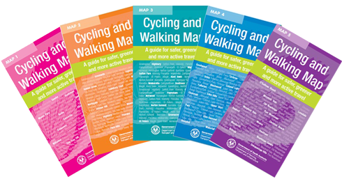
These hard copy Cycling and Walking Maps will assist you to make active travel choices in Adelaide’s metropolitan suburbs. You can use the maps to plan safe walking or cycling routes to local shops, parks and services.
The maps show bike lanes, local streets and shared use paths, as well as signalled intersections, pedestrian crossings and school crossings to help plan your cycling or walking trip.
The maps include information so you can estimate approximate travel times.
To order your copies of the Cycling and Walking Maps, please email dit.cycleinstead@sa.gov.au There are five maps available, covering the greater metropolitan Adelaide area. Refer to the diagram on the right to identify which of the maps are most relevant to you. Remember, the most up to date cycling information is always available on the
Cycle Instead Journey Planner. | 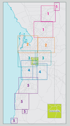 |
|---|